By
Alex on October 22, 2005, at 0400 UTC
Topic(s):
AIS 0400hrs 22 Oct 2005 UTC 39’39”S 014’11”E Ref 469
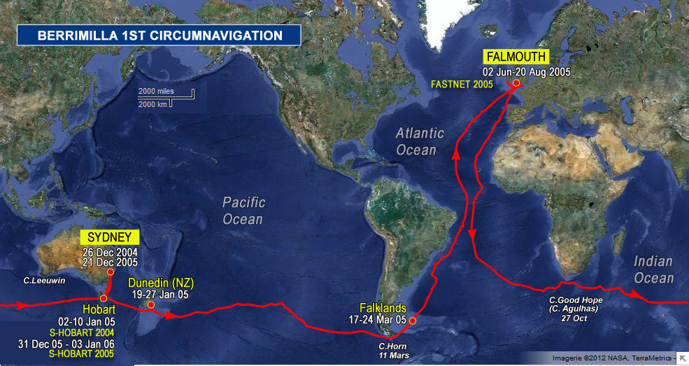
We’re struggling on a bit here. Back to NW 35 kts, huge following sea, storm jibA very small jib, usually made from bright orange material, used in storm conditions. only and only making SE. Should back to W later today. Bloody uncomfortable, noisy, jerky and unpleasant. It has just started to rain – another cold, bleak dawn No wonder the old sailors called this the Cape of Storms. Will we never get past Africa? We’re in warm water – 16 degrees – so must be the Agulhas current mixing with the S. Atlantic.
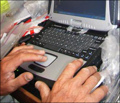
Malcom – tis is a big empty ocean. As far as I know, we have ‘seen’ only two ships since the Cape Verdes on AISAutomatic Identification System. An automatic tracking system used on ships and by vessel traffic services (VTS) for identifying and locating vessels. and we never actually saw them visually. AISAutomatic Identification System. An automatic tracking system used on ships and by vessel traffic services (VTS) for identifying and locating vessels. works from a vhfVery High Frequency radio. Short range radio equipment for voice and other applications such as AISAutomatic Identification System. An automatic tracking system used on ships and by vessel traffic services (VTS) for identifying and locating vessels.. signal transmitted on Ch 70 – mandatory for all vessels over 300 dwt. We have a vhfVery High Frequency radio. Short range radio equipment for voice and other applications such as AISAutomatic Identification System. An automatic tracking system used on ships and by vessel traffic services (VTS) for identifying and locating vessels.. aerial dedicated to it about a metre and a half above the water on the pushpitThe railing around the deck at the stern of a yacht. and the range would be line of sight to that aerial, so depends a bit on the transmitting aerial but not likely to be more than about 20 miles max. In the English Channel, the screen was cluttered with ships. The software tracks them and gives essential safety info – CPAClosest Point of Approach- a navigational term used when plotting the courses of two boats to determine whether a close-quarters (potential collision) situation is likely to occur. etc – as well as mmsiMaritime Mobile Station Identity; used for radios with digital selective calling (DSC), as well as AIS (Automatic Identification System) transponders. It allows two vessels with radios that have this capability to exchange information about who they are and where they're going without need for voice contact . There is a unique numeric identifier for each user of AIS system. and destination, ships name, course, speed etc if transmitted. We don’t transmit, just listen, but we can send DSCDigital Selective Calling. DSC radios have the facility to alert another vessel or rescue centre directly. messages after receiving a hit – either general or specifically to the mmsiMaritime Mobile Station Identity; used for radios with digital selective calling (DSC), as well as AIS (Automatic Identification System) transponders. It allows two vessels with radios that have this capability to exchange information about who they are and where they're going without need for voice contact . There is a unique numeric identifier for each user of AIS system. number to wake them up – we hope!
Jennifer, good to have you back, Tim, watch those vapours! Bill W, hope you had a good party, Maureen and Ralph – we look forward to meeting you.

 The logs ramblings can be cryptic, so we have added: